[Tekst dostępny tylko w języku angielskim] During the last few years we have been witnessing the emergence of “flying objects” in our sky. Creative technologists and artists use this technology to capture landscape images and capture videos. Therefore companies and institutions use it as a surveillance monitor to track individuals. Military drones are increasingly used by armies around the world, and it is said that in a near future they will replace the police patrols for urban security. It is the threat of big brother hovering or even a world where machines have taken over. Will this lead to irreversible future uses ?
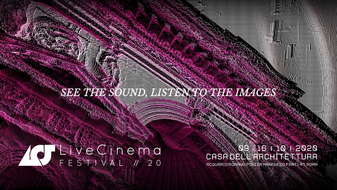
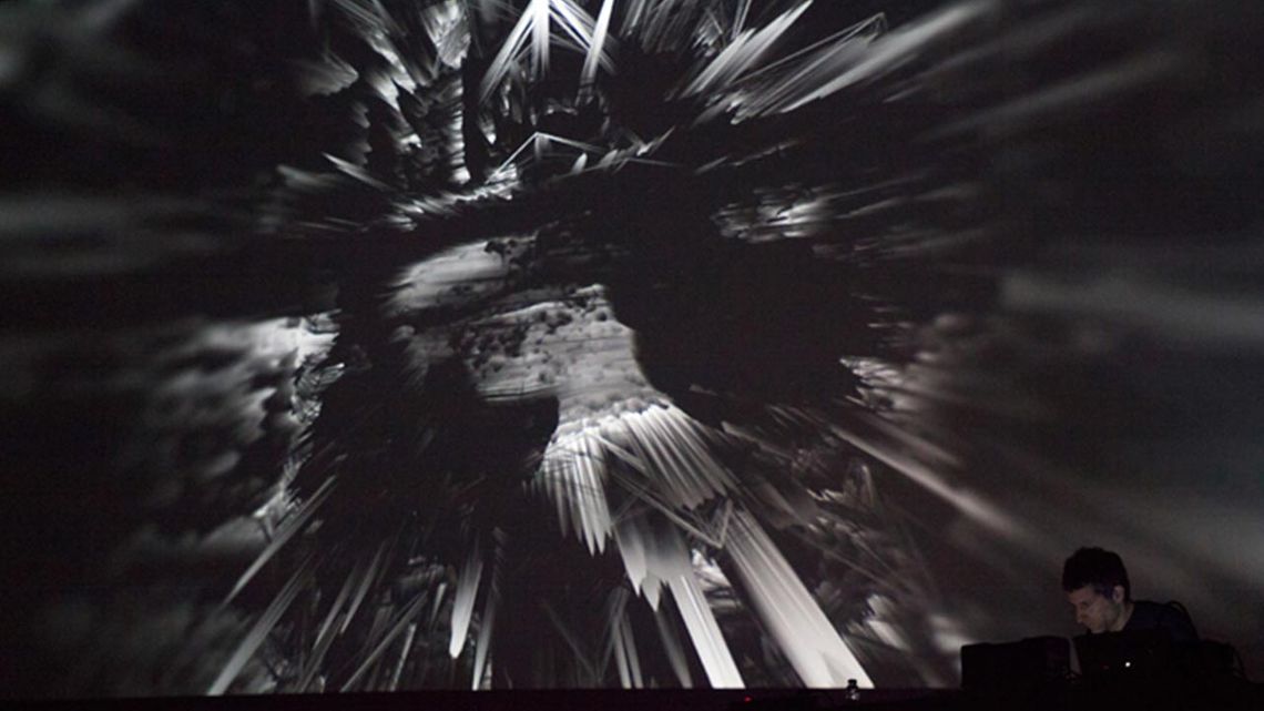
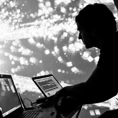
AERYON is an artistic interpretation of a surveillance drone vision where the story line evolves according to the location of the performance. A virtual drone manipulated by the performer uses data retrieved from google maps, and interprets visually the landscape from a bird view perspective. Realtime generative visuals are used to recreate the natural patterns that we can sometimes contemplate from a drone. GPS information is detected in order to retrieve sound information from a specific location (radio frequencies) and add this information to the “Drone” generative surround sound composition that will also evolve according to the navigation of the performer.